Developing and managing floodplains in a multifunctional perspective
Our main publications
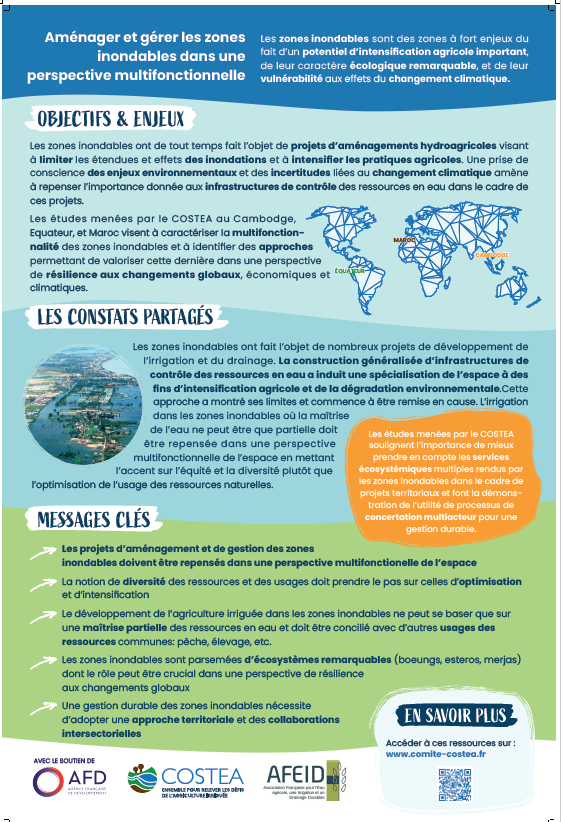
Click on the image to download the action poster.
Pourquoi les zones inondables dans un contexte de changement global ?
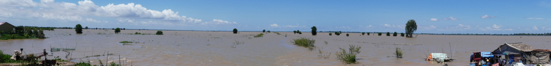
Floodplains, including deltas, are among the most densely populated regions of the world. They are also crucial in terms of food security because they are home to highly productive agricultural systems, especially rice production. These agro-ecosystems are also extremely vulnerable to flooding and rising sea levels due to climate change. Having been the subject of major investment in water resource control infrastructures for nearly 150 years, the sustainability of these areas is now being called into question, requiring new approaches to their development and use.
What do we do?
In September 2019, we initiated a comparative study of three large floodplains in three countries of the world: the upper Mekong delta in Cambodia, the Daule floodplain in Ecuador and the Gharb irrigated plain in Morocco, which represent the diverse issues faced by floodplains.
In these three socio-ecosystems, we are carrying out studies with national partners that aim to:
- Characterise the complex hydrological functioning of these zones;
- Identify and assess the multiple services that floodplains provide to people.
Three North-South consortia are in charge of conducting these studies:
- IRD/ITC/RUA/ISC in Cambodia,
- AVSF/ESPOL in Ecuador,
- CIRAD/IAV Hassan in Morocco.
We design and conduct participatory activities aiming to renew the territorial planning approaches of these areas. This action is currently being finalised.
")
FURTHER READING
The preparatory document:
The issue notes for the Cambodia, Ecuador and Morocco projects:
- Understanding the cambodian upper Mekong delta: towards new approaches for floodplain governance (in English)
- The issues of the floodplain of the Daule river sub-basin (in French)
- The challenges of the Gharb flood plain in Morocco (in French)
- Caracterizacion de las practicas agricolas para la produccion de arroz en zonas inundables naturales e intervenidas de la subcuenca del rio Daule
- Rapport de synthèse – Caractérisation des pratiques agricoles – Rivière Daule
- Informe sintético – Caracterización Prácticas Agrícolas – rio Daule
- Rapport de synthèse – ‘Erosion hydryque sous-bassin de la rivière Daule
- Informe sintético – Erosión hídrica e hidrogramas subcuenca del rio Daule
- Presentación – Modelo Espacializado
- Informe final – Gestion de las planicies inundables
- Rapport de synthèse – Modèle spacialisé
- Informe sintético – Modelo Espacializado
- Informe final – Espol Gestion de las planicies inundables contexto cambio global
- Informe Sintético Modelo Conceptual Rio Acuifero
- Presentación Estudio Modelo Conceptual
- Etude – Evaluation des pratiques agricoles « érosives » – Rivière Daule
- Informe sintético Evaluación Practicas Erosivas -rio Daule
- Exposición Maestría Rio Daule
- Rapport synthèse – Ecosystèmes zones inondables
- Informe sintético servicios y funciones zonas inundables
You can consult the United Nations World Water Development Report 2018: Nature-based solutions for water